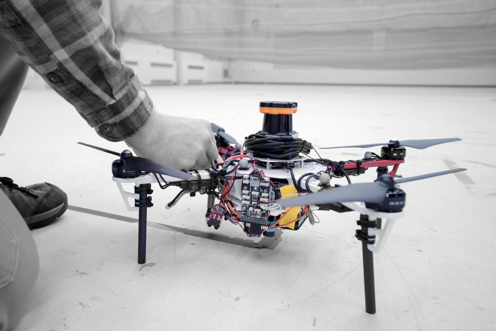
Drone fleets could find lost hikers in forests without using GPS
Drones can already be effective search and rescue tools, but not in densely-packed forests where the tree cover might block GPS signals.
Thankfully, MIT has a clever solution: use the same technology that guides self-driving cars.
Its researchers have developed drone tech that uses LIDAR to map forests without any use of GPS.
Each drone creates a 2D map that also includes the orientations of trees, making it easy to tell where the robotic aircraft has already been as it searches through a specified area.
https://www.engadget.com/amp/2018/11/04/drones-could-find-hikers-in-forests/