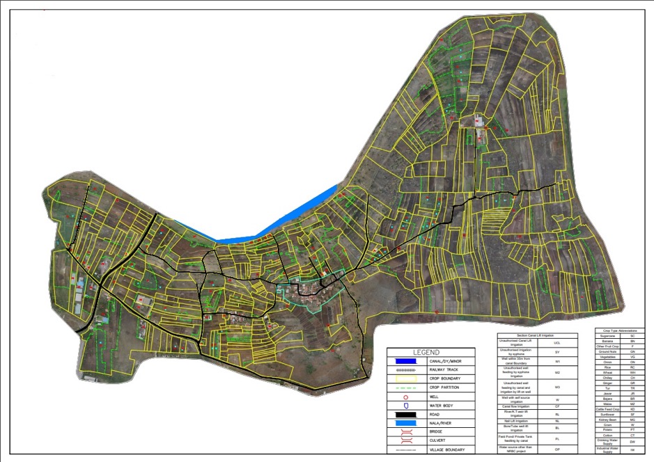
Process analysis of drone image and make it-map data which shows the border of plot and farmland data
Terra Drone: India successfully lands on a large scale survey-Maharashtra Krishna Valley
~ Utilize drone equipped with RGB sensor and original data analysis system ~
2010.05.09 NEW
Terra drone: Maharashtra Krishna Valley Development Corporation
At the request of Maharashtra Krishna Valley Development Corporation, a government-related organization in Maharashtra, India, we have completed the survey of a land of 4,200 km2 (approximately two in Tokyo).
This survey: contents of conduct
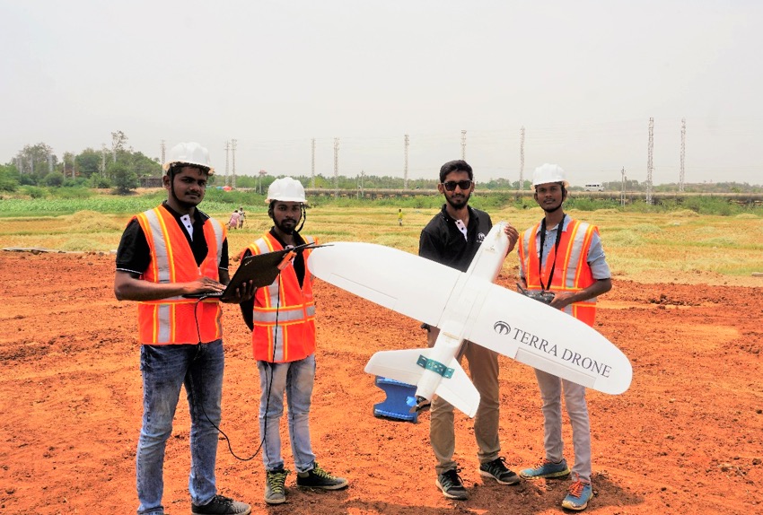
Drone utilization equipped with RGB sensor
High precision aerial photography
Process analysis of acquired data in our own system
Produce products with about 2 cm / pixel accuracy on ground resolution (GSD)
Realize land readjustment (including 1085 villages) of vast land.
terradrone japan