TRI-AD, Maxar Technologies and NTT DATA collaborate to build high-definition maps for autonomous vehicles from space
Tokyo, Japan/Colorado, USA; Apr. 25, 2019―
Toyota Research Institute-Advanced Development, Inc. (“TRI-AD”),
Toyota’s automated driving software development company,
Maxar Technologies Inc. (“Maxar”),a global technology innovator powering the new space economy,
NTT DATA Corporation (“NTT DATA”),a leading IT services provider,
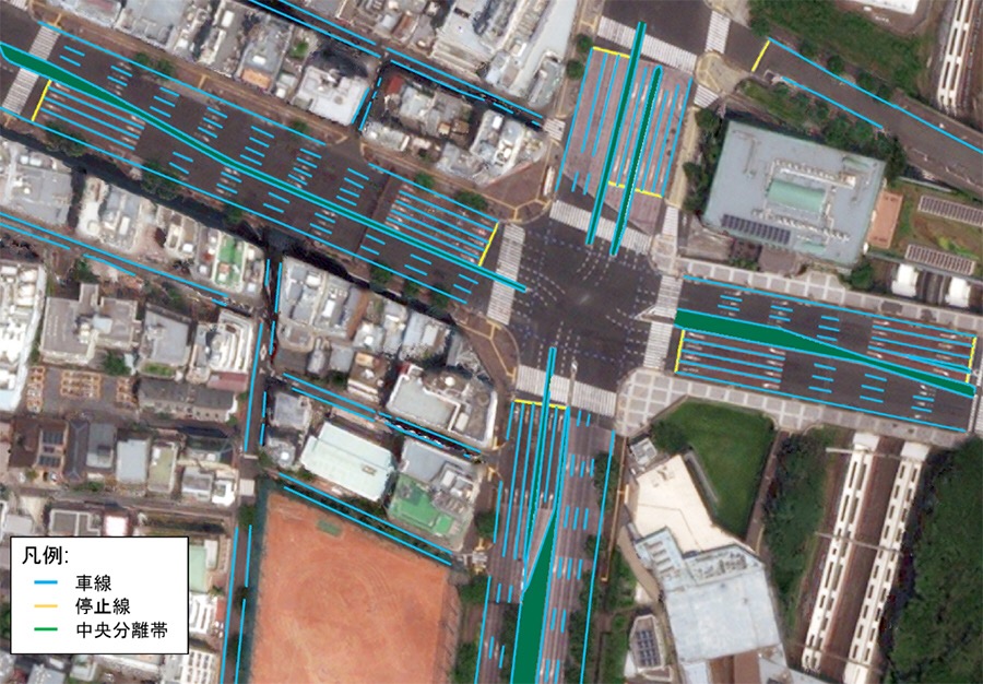
today announced they will collaborate on a proof of concept building automated high-definition (“HD”) maps for autonomous vehicles using high-resolution satellite imagery.
This is an important move toward advancing TRI-AD’s open software platform concept known as Automated Mapping Platform (“AMP”) and help realize the scalability of autonomous driving.
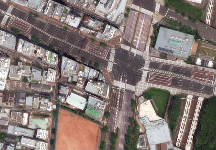
Autonomous vehicles use several real-time sensors to ensure safe driving and these sensors need to be cross-referenced with an HD map for safe operation.
According to TRI-AD analysis, currently HD maps cover less than 1% of the global road network*,
and there is a need to broaden the coverage of urban areas and local roads before autonomous vehicles can become a mainstream mobility technology.
An HD map created from the accurate satellite imagery allows the driving software to compare multiple data sources and signal the car to take action to stay safe.
| Corporate | Global Newsroom