KDDI: Alliance with Sturfee on VPS technology: Satellite 3D map (Spatial Computing)
June 24, 2019
KDDI: Spatial Computing
Working on spatial computing in the 5G era.
We entered into a strategic partnership with Sturfee to jointly promote planning and development using VPS technology.
You can generate 3D maps from satellite photos and get hold position and orientation information from your smartphone.
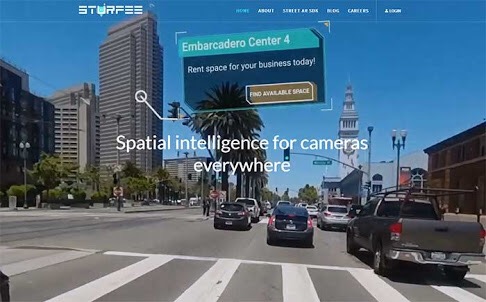
Sturfee: VPS (Visual Positioning Service)
It is positioned as an evolution of the traditional GPS (Global Positioning System).
With real-world digital 3D maps (3D mesh),
Match the image of the camera with a smartphone,
It is a technology to identify the direction and orientation of the driving vehicle by highly accurate position information.
In combination with AR that makes use of the camera function,
Digital signage and navigation linked to position information,
It is expected to create various experiences such as advertising, entertainment, art and education.
Sturfee: Make the entire space AR
We have technology that can generate 3D models for VPS from satellite images.
Compared with 3D generation, images taken with smartphones and cameras are AR-ized more seamlessly into the entire city or space.
2019 | KDDI CORPORATION
https://news.kddi.com/kddi/corporate/newsrelease/2019/06/24/3883.html