Underwater drone automatic navigation: realization of seabed mapping!
-Multi-beam sonar and aircraft position data-
From the press release of industrial underwater drone maker FullDepth
May 23, 2023
Startup at University of Tsukuba: FullDepth
We realized seafloor mapping by underwater drone automatic navigation.
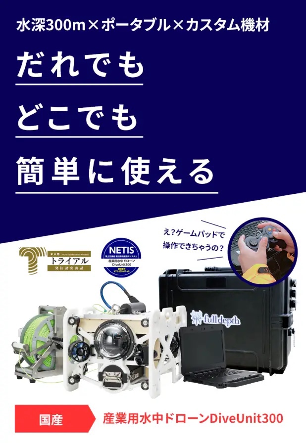
Centered around the DiveUnit300, we provide underwater access means that can be used on a daily basis.
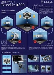
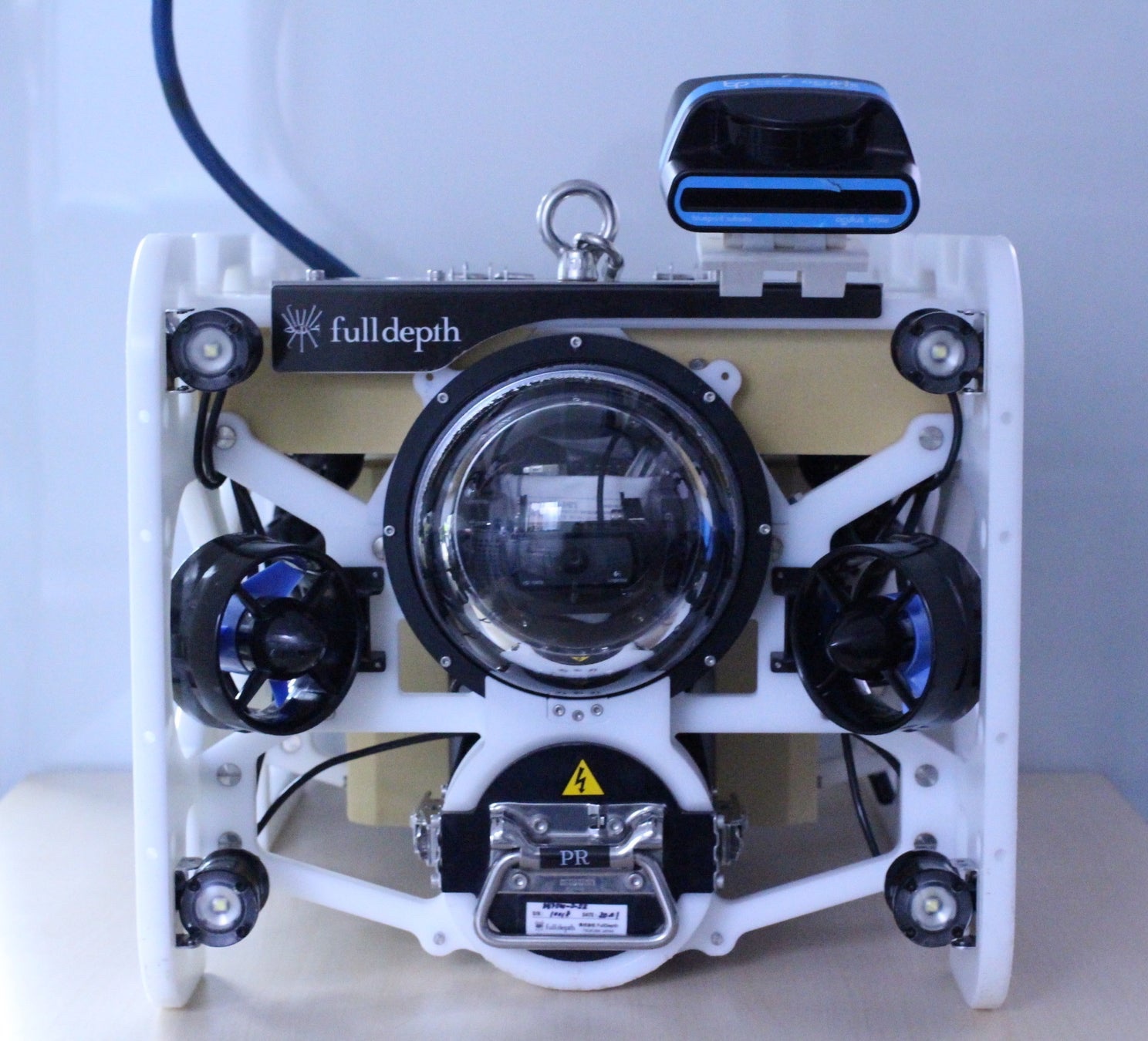
Underwater drone “DiveUnit300”:
Using “DiveUnit300”, we performed automatic navigation while photographing the seafloor and completed the seafloor mapping.

Achievements this time:
Modified the underwater drone “DiveUnit300”.
We realized seafloor mapping using the position estimation result and the captured video.
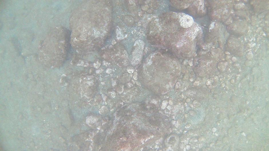
Undersea photo taken with a camera
Details of the verification experiment:
Auto-navigation of an underwater drone at an altitude of 1.5 m under the sea.
635 images are cut out at 1-second intervals from the position information of the aircraft and the video taken by the camera.
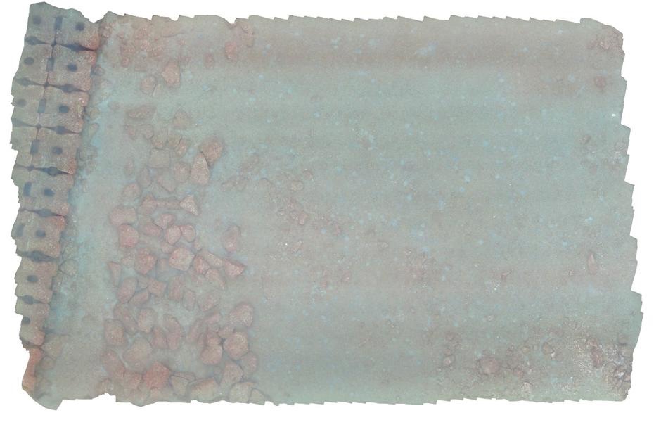
Creating orthoimages of the ocean floor:
Photogrammetry processing was performed by combining them.
We created an ortho image of the seabed and realized high-definition seabed mapping.
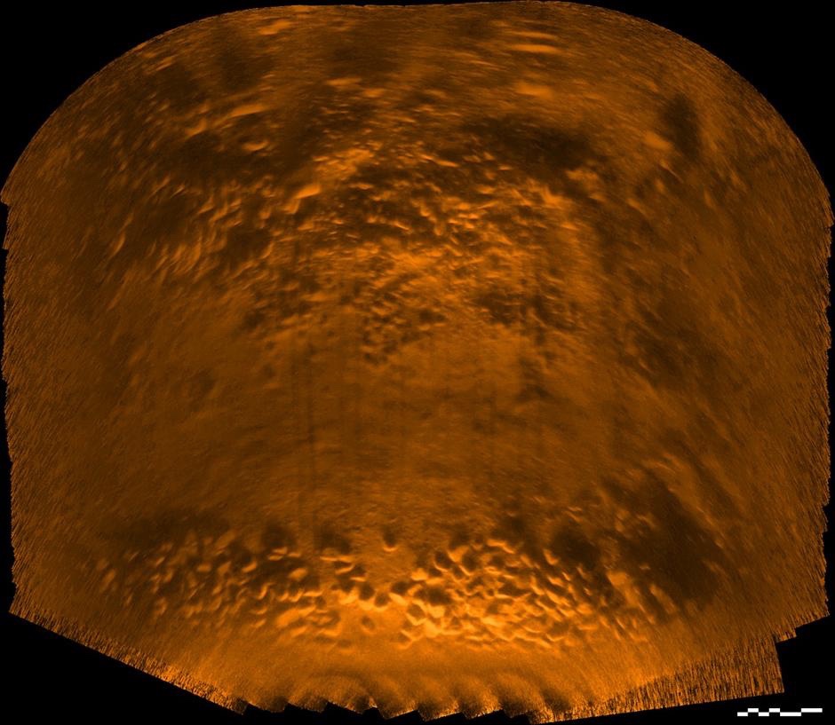
Seafloor image map by multi-beam sonar
Verification with multibeam sonar:
At the same time, verification with multi-beam sonar was carried out.
Sea floor mapping with acoustic images:
Implemented automatic navigation of underwater drones at an altitude of 2.0 m under the sea.
By combining “multi-beam sonar data and aircraft position information”, we have also realized seafloor mapping with acoustic images.